GIS
GIS (Geographical Information System) is software that allows data to be shown and manipulated in either two or three dimensions. Google Earth, Google Maps and your car navigation unit are types of GIS.
The GIS software used by gold exploration companies allow the user to import and manipulate data from a range or sources and formats. Typical applications of GIS in gold exploration are geological maps, satellite imagery, geophysics, and sample analysis. These applications are used both in planning and in interpreting completed work. The most common exploration GIS software include Mapinfo Professional, Encom Discover, ArcGIS and Global Mapper. Once exploration work reaches resource stage other much more expensive software packages are usually used. These are most commonly Gemcom, Surpac, Micromine and Datamine. |

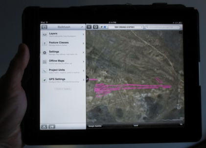
Screen shot of GIS used to work with data.
GIS Software on an an iPad
|